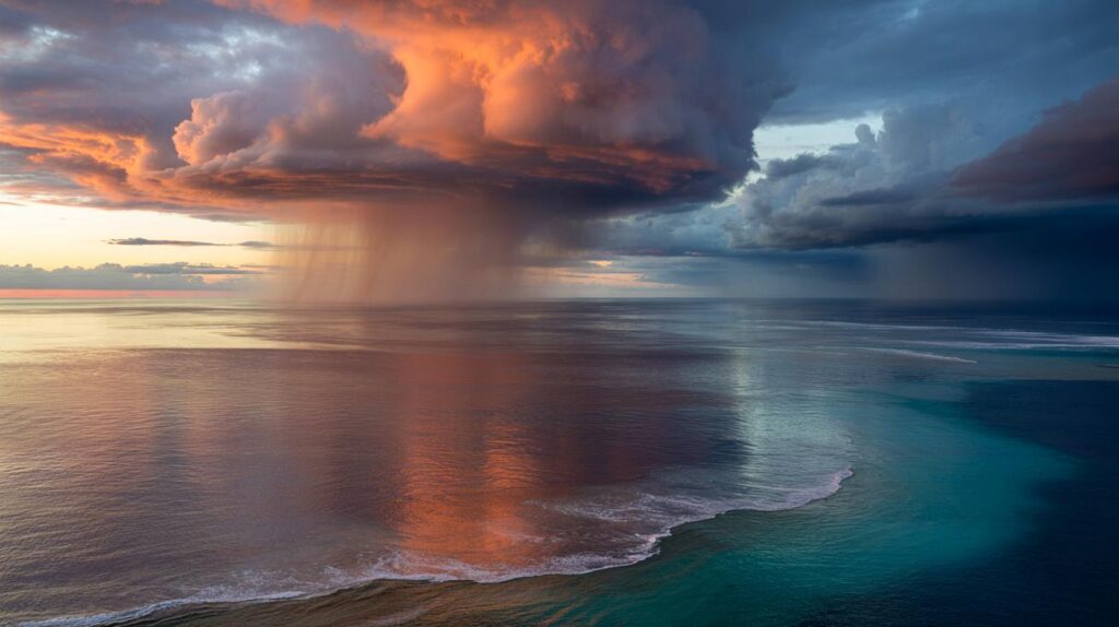
Meteorologists are now watching the tropical Pacific with growing unease, as ocean temperatures and wind patterns hint that the atmosphere is about to switch gear again. The coming phase will not just shape weather far away over the ocean – it is likely to ripple through heatwaves, floods and storms across Europe, the Americas, Africa and Asia over the next few years.

The Pacific engine that powers global weather
At the heart of this story sits a vast strip of warm water along the equator in the Pacific Ocean. This band acts like a heat engine, steering where clouds form, how jet streams bend and where storms are born. When it shifts, the entire climate machine responds.
Scientists group these swings under a single name: ENSO, short for El Niño–Southern Oscillation. It has three phases:
- El Niño: unusually warm water in the eastern and central equatorial Pacific
- La Niña: unusually cool water in the same region
- Neutral: temperatures close to the long-term average
ENSO does not create global warming, but it can turbocharge or temporarily mask it, turning up the volume on climate extremes.
The latest El Niño episode ran from spring 2023 to spring 2024. It came on top of decades of human-driven warming and helped push 2024 to record-breaking global temperatures.
Why 2024 broke records – and why that matters for 2026
The exceptional heat of 2024 did not come from nowhere. Two drivers lined up at the same time.
- Long-term rise in greenhouse gases, mainly from burning coal, oil and gas
- A strong warming push from El Niño in the tropical Pacific
When the planet is already warmer than at any time in modern history, even a modest El Niño can push global averages to new highs. That is exactly what happened. Sea surface temperatures shattered previous records. Heatwaves hit regions already stressed by drought. Coral reefs from the Caribbean to the Pacific endured another round of bleaching.
El Niño years stack an extra layer of heat on top of a climate that is already running a fever.
As El Niño faded through mid-2024, meteorological agencies noted a shift toward neutral conditions. That neutral phase is only a pause. Climate models now suggest that by 2026 the Pacific is likely to swing in the other direction, toward a marked La Niña. That flip could mark the onset of a new pattern of extremes rather than a return to calm.
From El Niño to La Niña: a different kind of disruption
El Niño and La Niña tend to alternate, sometimes with a year or two of neutral conditions in between. The cool phase does not simply reverse the effects of the warm phase. It comes with its own signature of hazards.
| Phase | Pacific temperature | Typical global impacts |
|---|---|---|
| El Niño | Warmer than average | Higher global temperatures, droughts in some tropics, wetter conditions in parts of the Americas |
| La Niña | Cooler than average | Stronger Atlantic hurricane seasons, shifting monsoons, heat and drought in some mid-latitudes |
La Niña tends to:
- Cool global average temperatures slightly, without cancelling the long-term warming trend
- Intensify rainfall over Southeast Asia and northern Australia
- Dry parts of South America and the southern United States
- Encourage more frequent and often stronger Atlantic hurricanes
In a world where baseline temperatures keep rising, these familiar patterns play out on a new background. That means La Niña can still coincide with record-breaking local heatwaves or catastrophic floods. It changes the geography and timing of extremes rather than removing them.
What this Pacific shift could mean for Europe and France
ENSO acts most strongly in the tropics, yet its influence can reach Europe through atmospheric bridges: changes in the jet stream, pressure systems and storm tracks.
When the Pacific cools during La Niña, researchers often see:
- Changes in the North Atlantic Oscillation, which helps shape European winters
- Altered storm paths that can redirect rain toward or away from western Europe
- Shifts in heat distribution between land and ocean that set up persistent high-pressure domes
For France and its neighbours, the Pacific’s next move could tip the balance between a stormy, wet season and another parched, overheated summer.
Climate models currently tested by European weather services suggest that, as the Pacific moves toward a cooler phase by 2026, western Europe could face:
- Increased risk of intense rainfall episodes in some seasons, leading to flash floods
- Dry spells in other periods, particularly over the Mediterranean basin
- Higher odds of persistent heatwaves, given the ongoing warming trend
These are probabilities, not certainties. Local weather is influenced by many other oscillations in the Atlantic and Arctic. Yet, when a strong La Niña combines with warm North Atlantic waters, the resulting pattern can lock in stubborn blocking highs over Europe. Those systems trap heat, suppress rainfall and create the kind of prolonged hot spells France has endured several times in the past decade.
An already stressed climate system
The key concern among climatologists is not just the return of La Niña, but the context into which it arrives. Global greenhouse gas concentrations continue to climb. Oceans retain historic levels of heat. Ice sheets and glaciers keep losing mass.
Natural climate swings such as ENSO now operate on top of a human-warmed planet, pushing societies beyond thresholds they once could handle.
Recent years have shown what that means in practice:
- Heatwaves turning from rare events into frequent, deadly episodes
- Rainfall arriving in shorter, more violent bursts, with cities overwhelmed by flash flooding
- Wildfire seasons lengthening and intensifying in Mediterranean Europe, North America and Australia
The shift from El Niño to La Niña does not reset that reality. Instead, it rearranges where the pressure points lie. Regions that were spared during the last warm phase may find themselves under fresh strain during the cool phase.
How scientists know what is coming
Forecasts for ENSO rely on a mix of observations and computer models.
- Satellite measurements track sea surface temperatures across the Pacific
- Buoys anchored along the equator record temperatures down through the upper ocean
- Wind data reveal whether trade winds are strengthening or weakening
These observations feed into coupled ocean–atmosphere models that simulate how heat and moisture move between sea and sky. When multiple independent models converge on a similar scenario – such as a transition toward La Niña by 2026 – confidence in that outlook increases.
There are still uncertainties, especially beyond a one-year horizon. A surprise burst of westerly winds or a sudden change in ocean circulation can disrupt the expected evolution. Forecasters constantly update their projections as new data flows in.
Key terms that help make sense of the signals
For readers trying to follow these Pacific shifts, a few basic concepts go a long way.
- Sea surface temperature anomaly: the difference between the current sea temperature and the long-term average for that location and time of year.
- Trade winds: persistent east-to-west winds near the equator that help pile up warm water in the western Pacific during La Niña and relax during El Niño.
- Atmospheric circulation: large-scale patterns of rising and sinking air that steer storms and high-pressure systems around the globe.
When scientists say “signals are accumulating” in the Pacific, they usually mean that anomalies in each of these indicators are starting to align in a way that historically leads to a particular ENSO phase. No single value decides it; the pattern does.
What shifting phases mean for everyday life
For governments, businesses and households, the Pacific’s next move is not just an abstract curiosity. It shapes real decisions.
- Water managers adjust reservoir plans based on expected rainfall
- Farmers choose crops and planting dates with an eye on drought or flood risk
- Energy grids prepare for peaks in electricity demand during heatwaves or cold snaps
- Insurance companies reassess exposure to hurricanes, floods and wildfires
In Europe and especially in France, a likely La Niña phase around 2026 suggests more climate variability, not less. Years may swing between soggy seasons and punishing heat. Adapting means strengthening early warning systems, adjusting building codes and improving urban design to cope with both water stress and water excess.
On the individual level, following seasonal outlooks, understanding local flood and heat risks, and staying alert to public advisories can make a tangible difference – particularly as natural Pacific cycles and human-driven warming combine to push the climate into yet another, more extreme phase.


